Locator: JN47kc
Punkte: 4
Höhe: 1642 m.ü.M
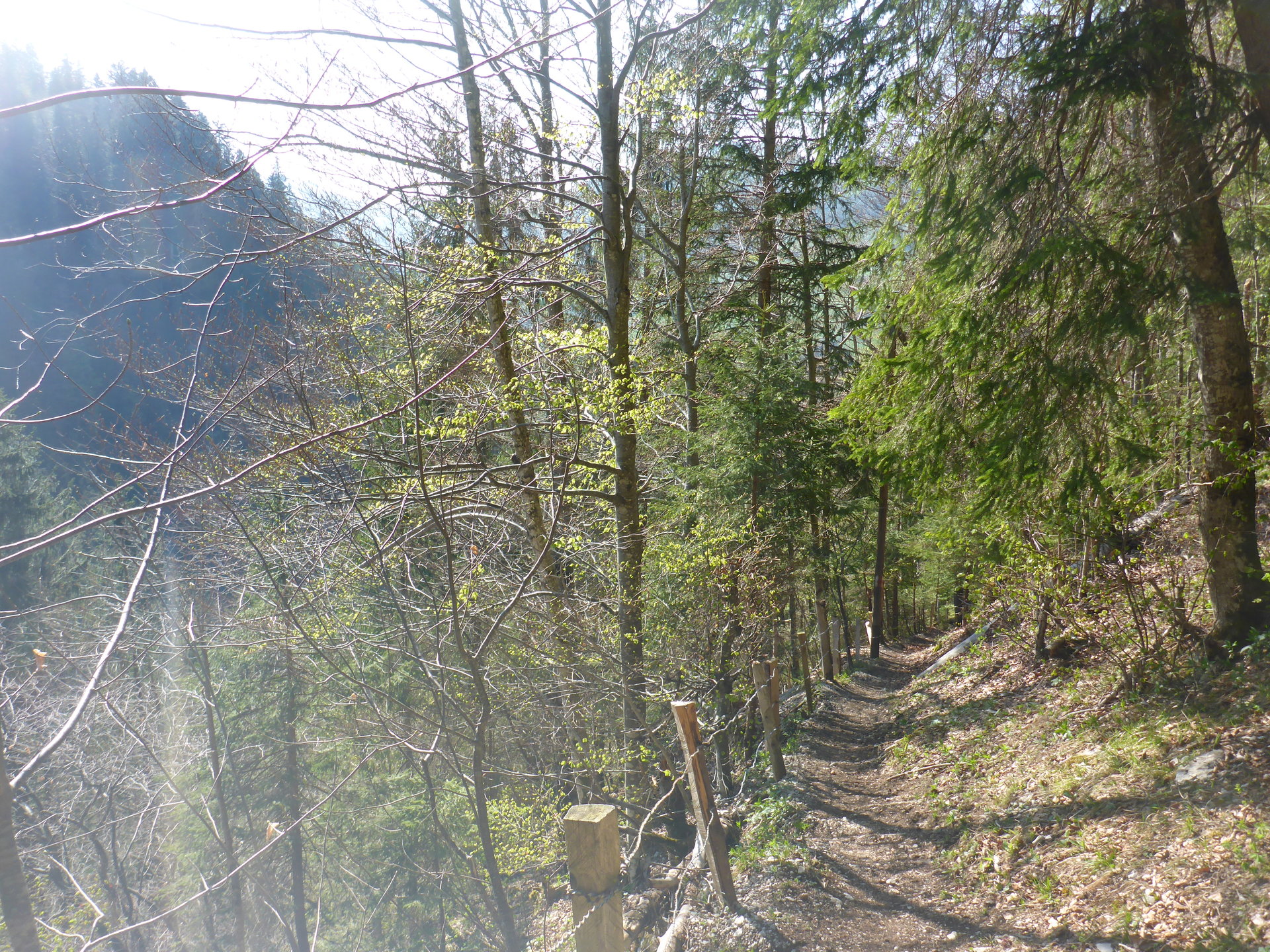
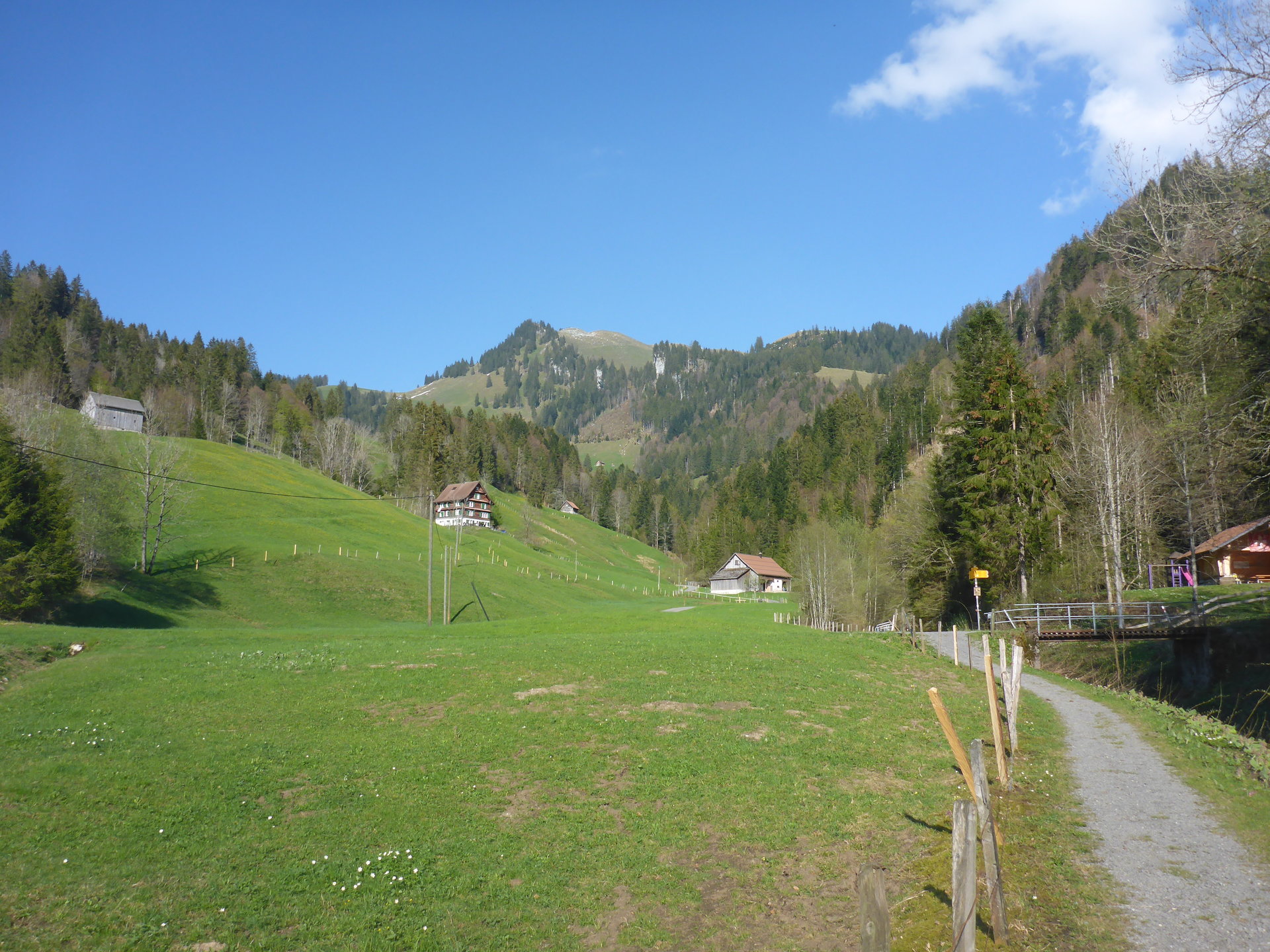
Startpunkt: Bus - Euthal, Drusberg
Route: Offizieller Wander- und Bergwanderweg
Marschzeit: ~2:35 h
Distanz: 5.64 km
Positiver Höhenunterschied: 725 m
Koordinaten: 47.1075, 8.8622
![]() Swiss Topo: Chli Aubrig
Swiss Topo: Chli Aubrig
![]() Google Maps: Chli Aubrig
Google Maps: Chli Aubrig
![]() SOTLAS: Chli Aubrig
SOTLAS: Chli Aubrig
 SOTA: Chli Aubrig
![]() Webcam: In der Nähe
Webcam: In der Nähe
Wetterdaten für Vorderthal
| 2:00 | 5:00 | 8:00 | 11:00 | 14:00 | 17:00 | 20:00 | 23:00 | |
| Donnerstag | ||||||||
| Freitag | ||||||||
| Samstag | ||||||||
| Sonntag | ||||||||
| Montag | ||||||||
| Dienstag |
![]() Anfahrt: SBB Fahrplan, bitte hier klicken
Anfahrt: SBB Fahrplan, bitte hier klicken
Strecke als GPX Datei Details zum GPX-File
GSM Empfang:
Mast aufstellen:
APRS Verbindung:
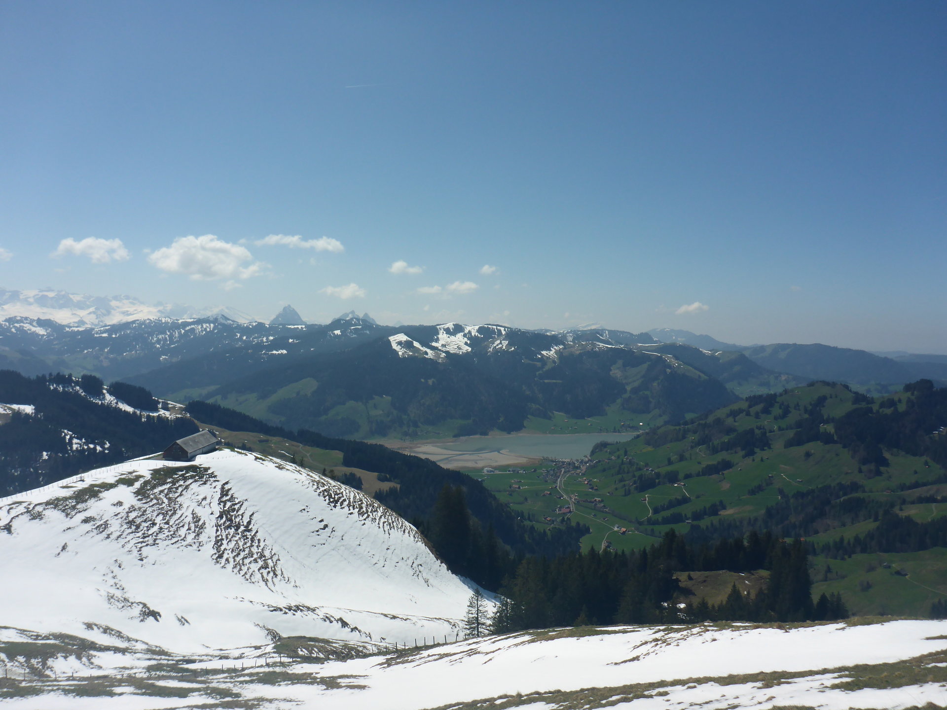
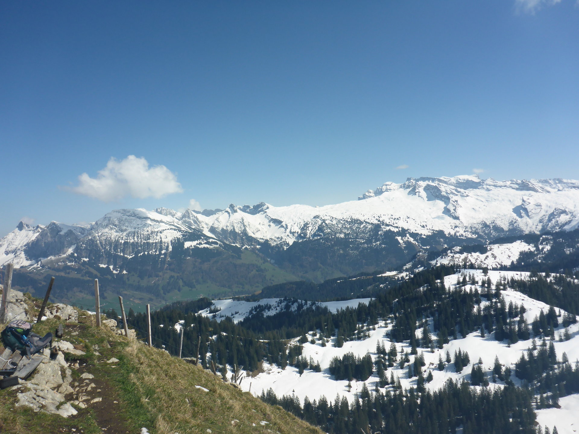
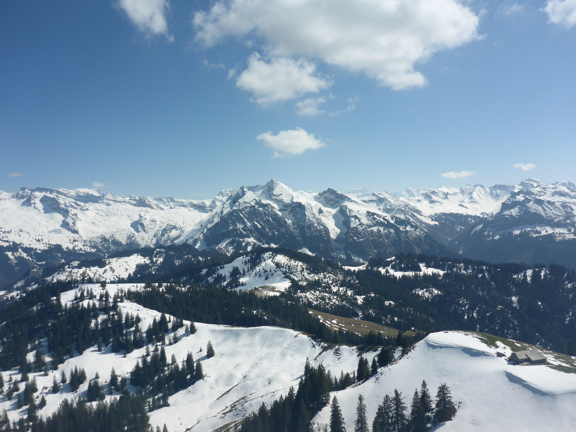
Aussicht:
Schwierigkeit:
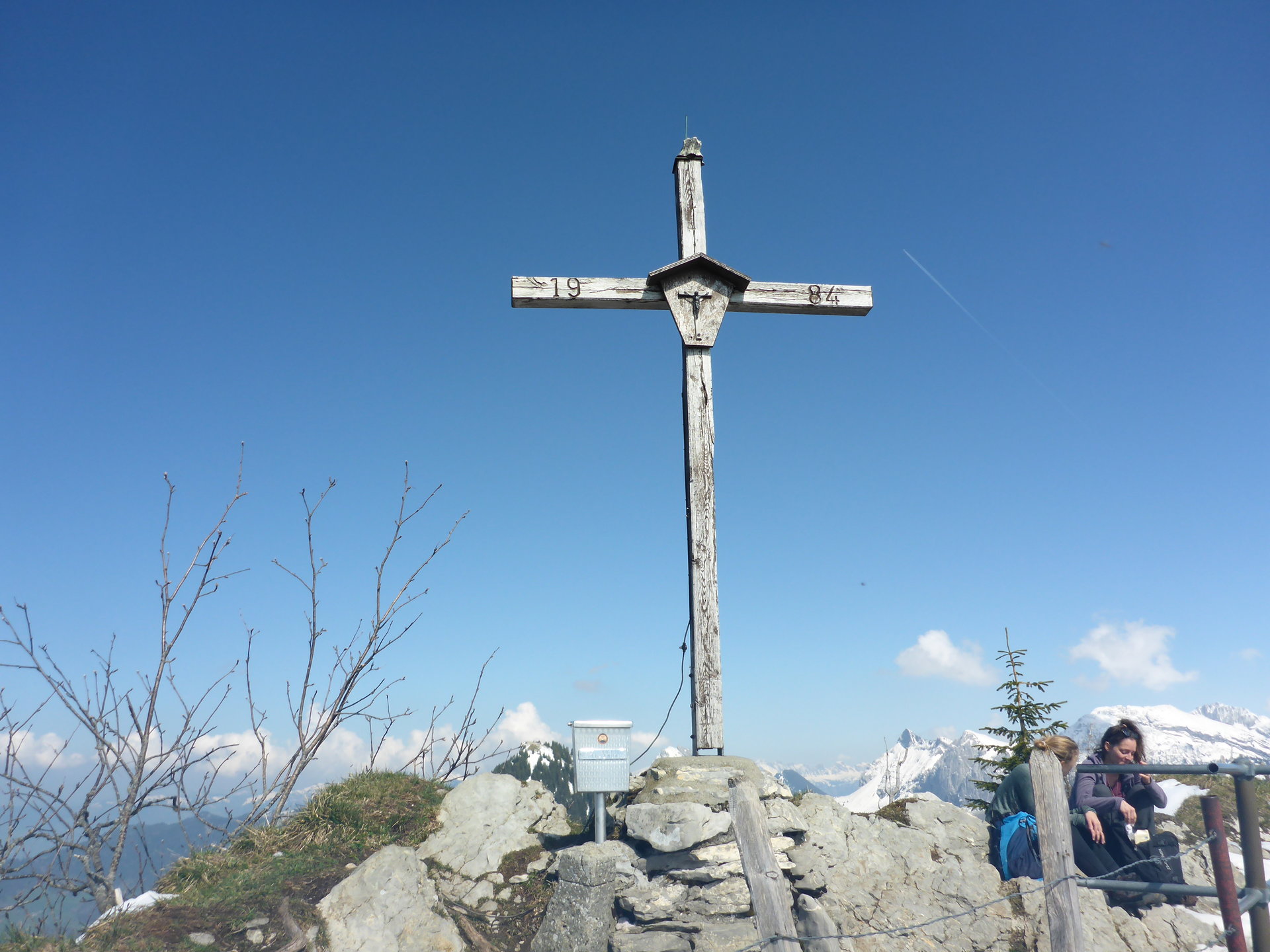
T2
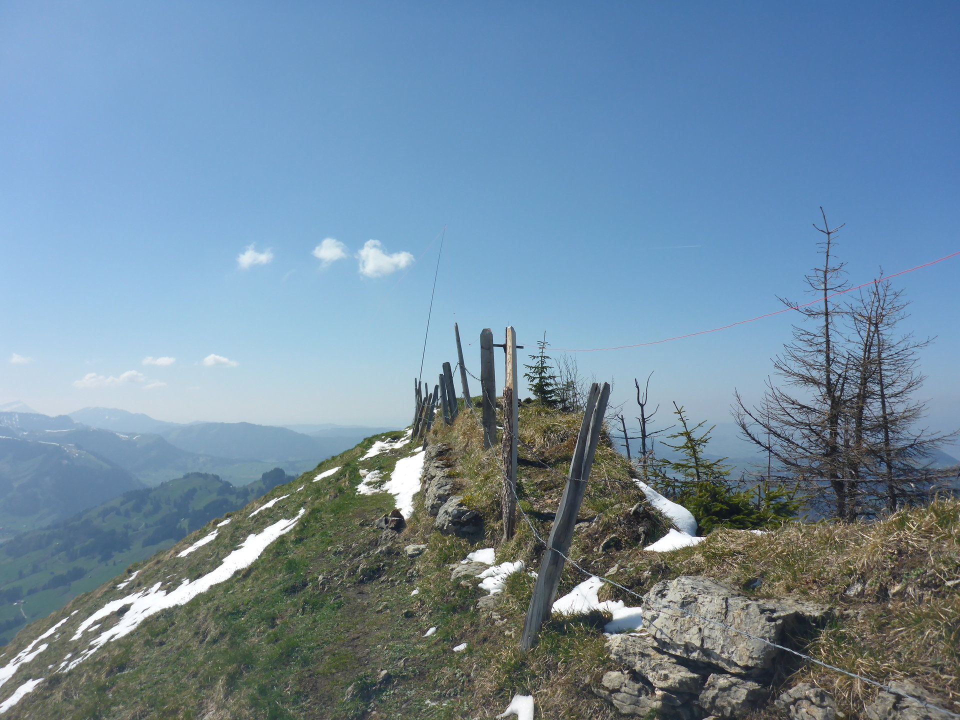
The peak is very narrow (see pictures on sotl.as) and any kind of wires present a danger for other fellow visitors (especially kids) so be considerate with a counterpoise or radials. I setup a vertical antenna a small distance away from the peak where the area is a bit wider and radials on the ground did not represent danger for other visitors.