Locator: JN45lw
Punkte: 1
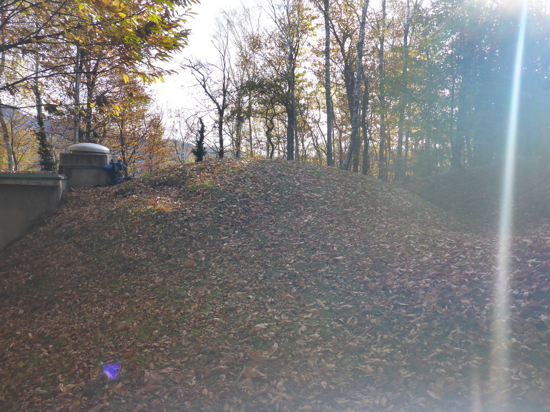
Höhe: 835 m.ü.M
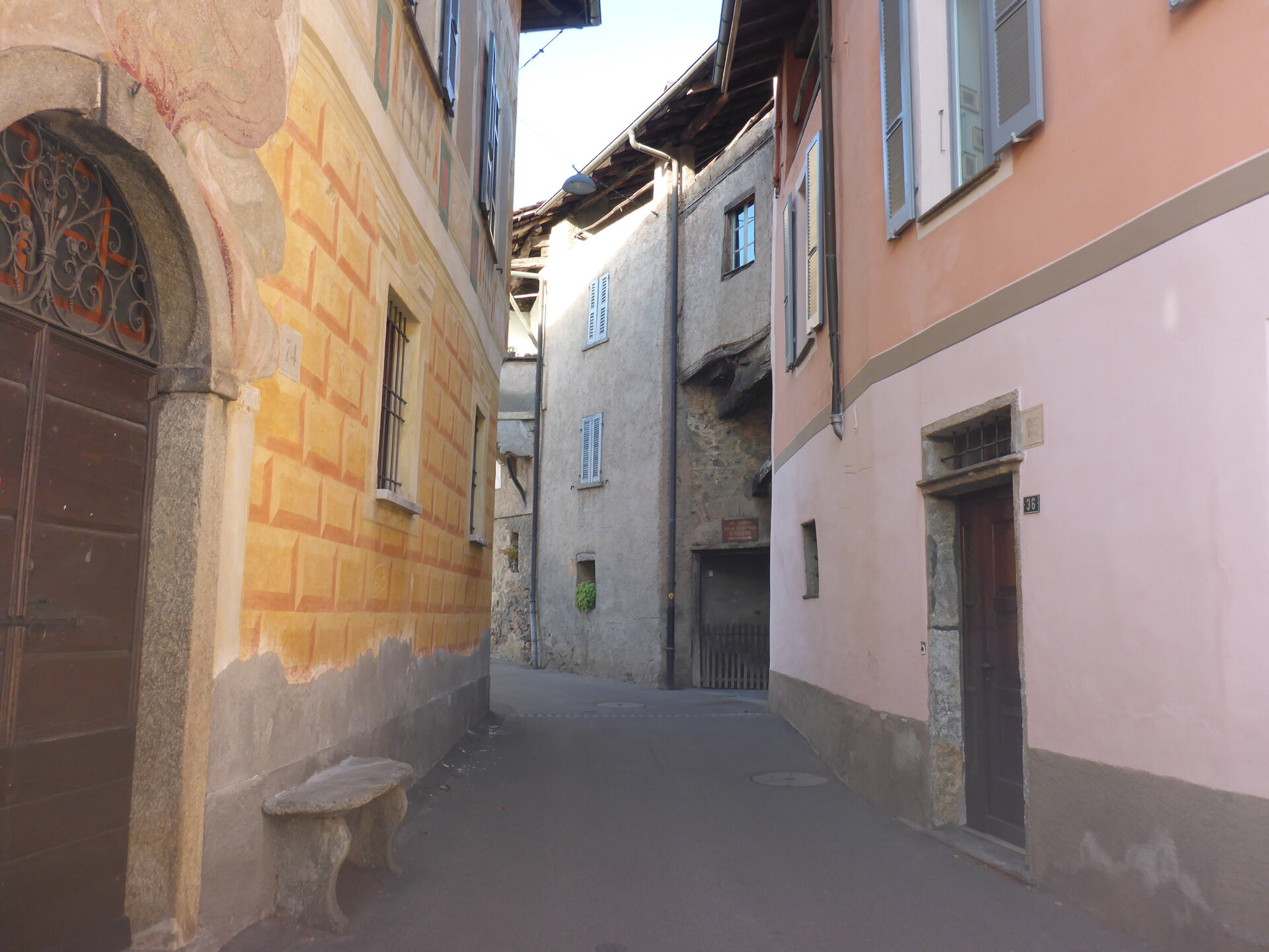
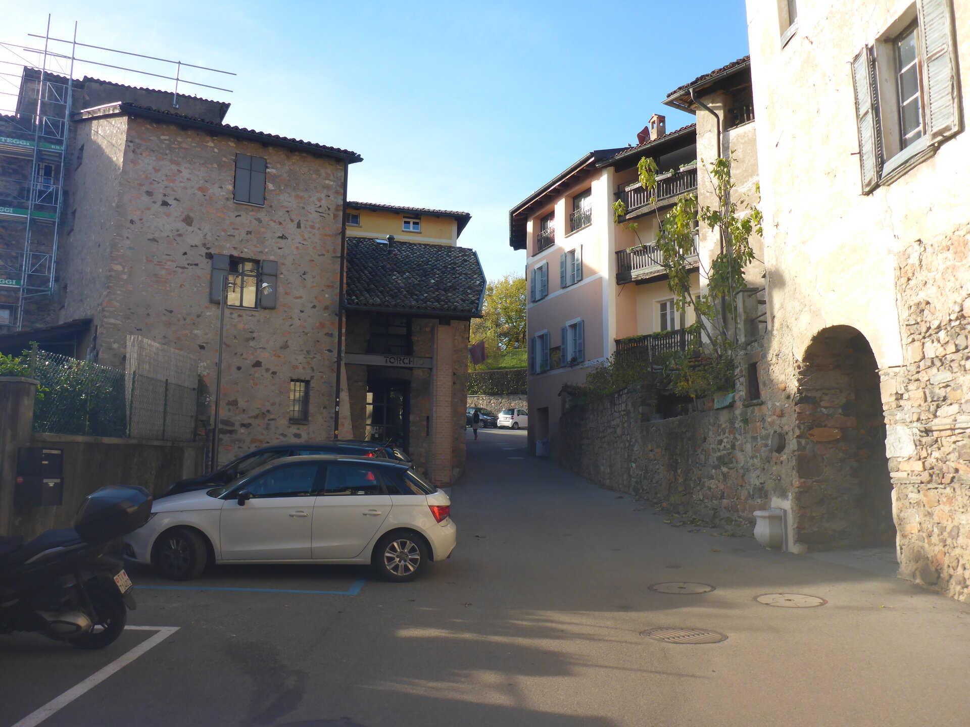
Startpunkt: Bus - Carona, Paese
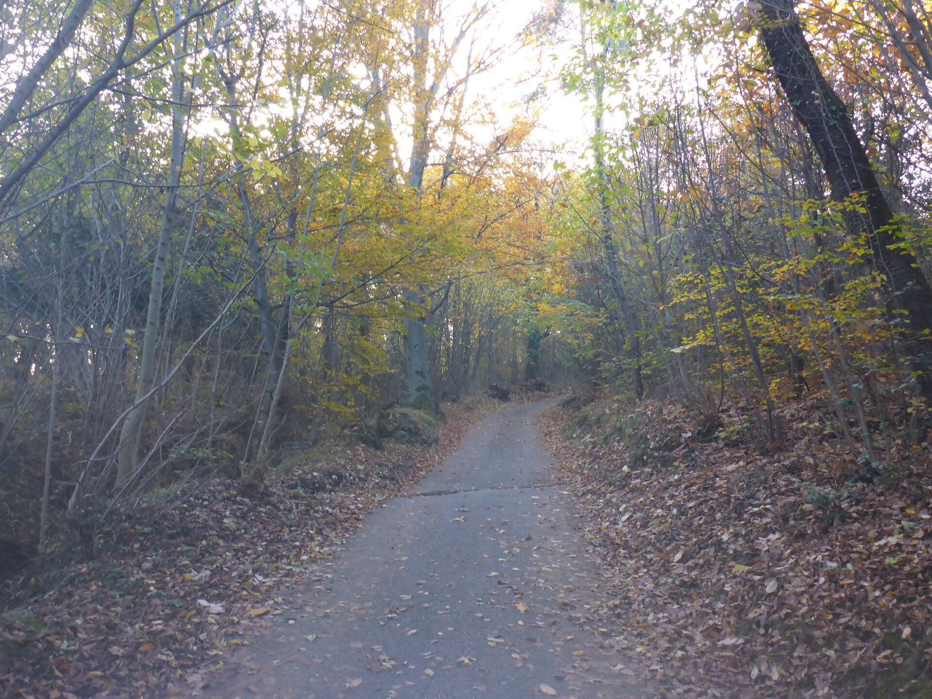
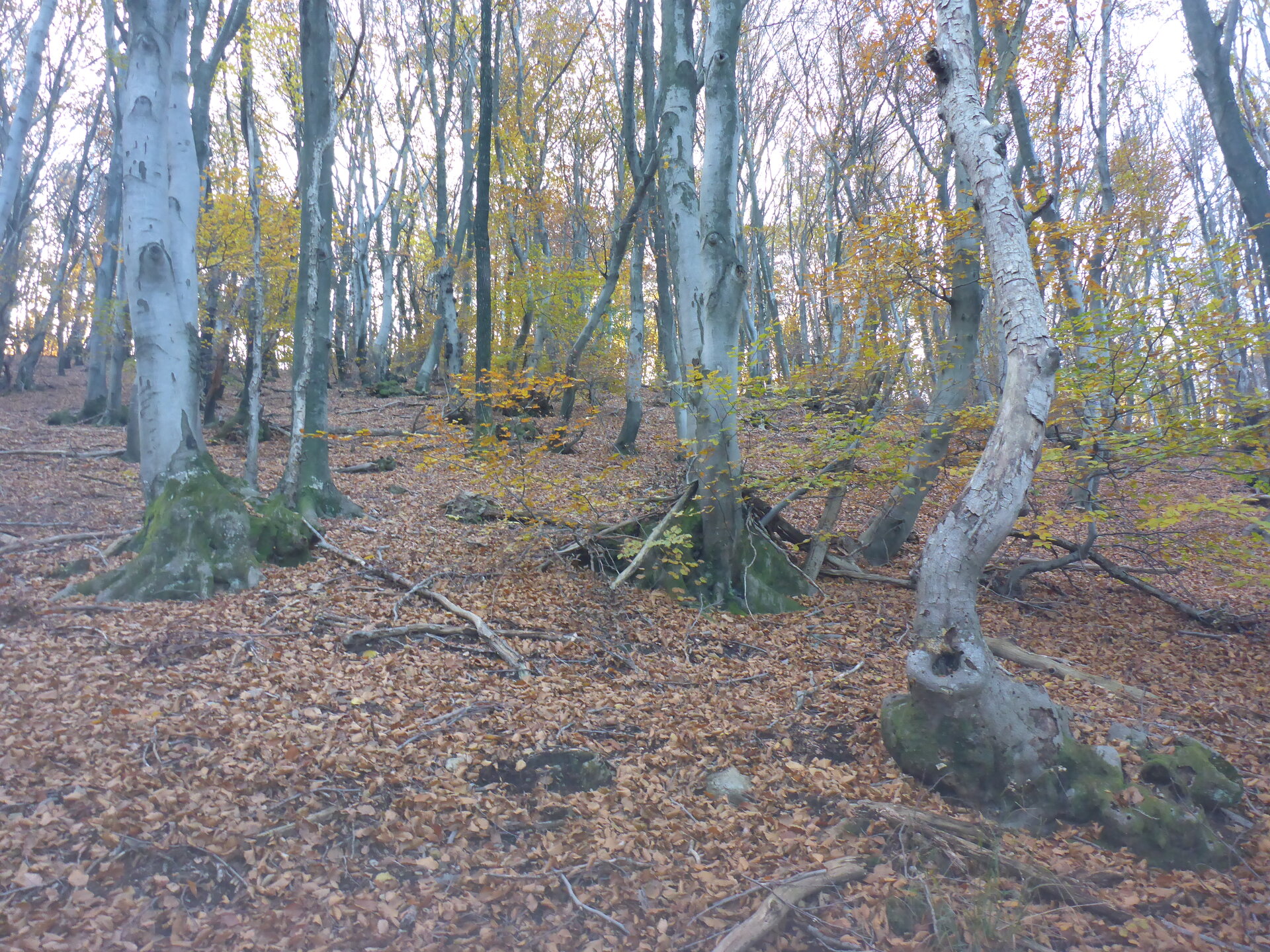
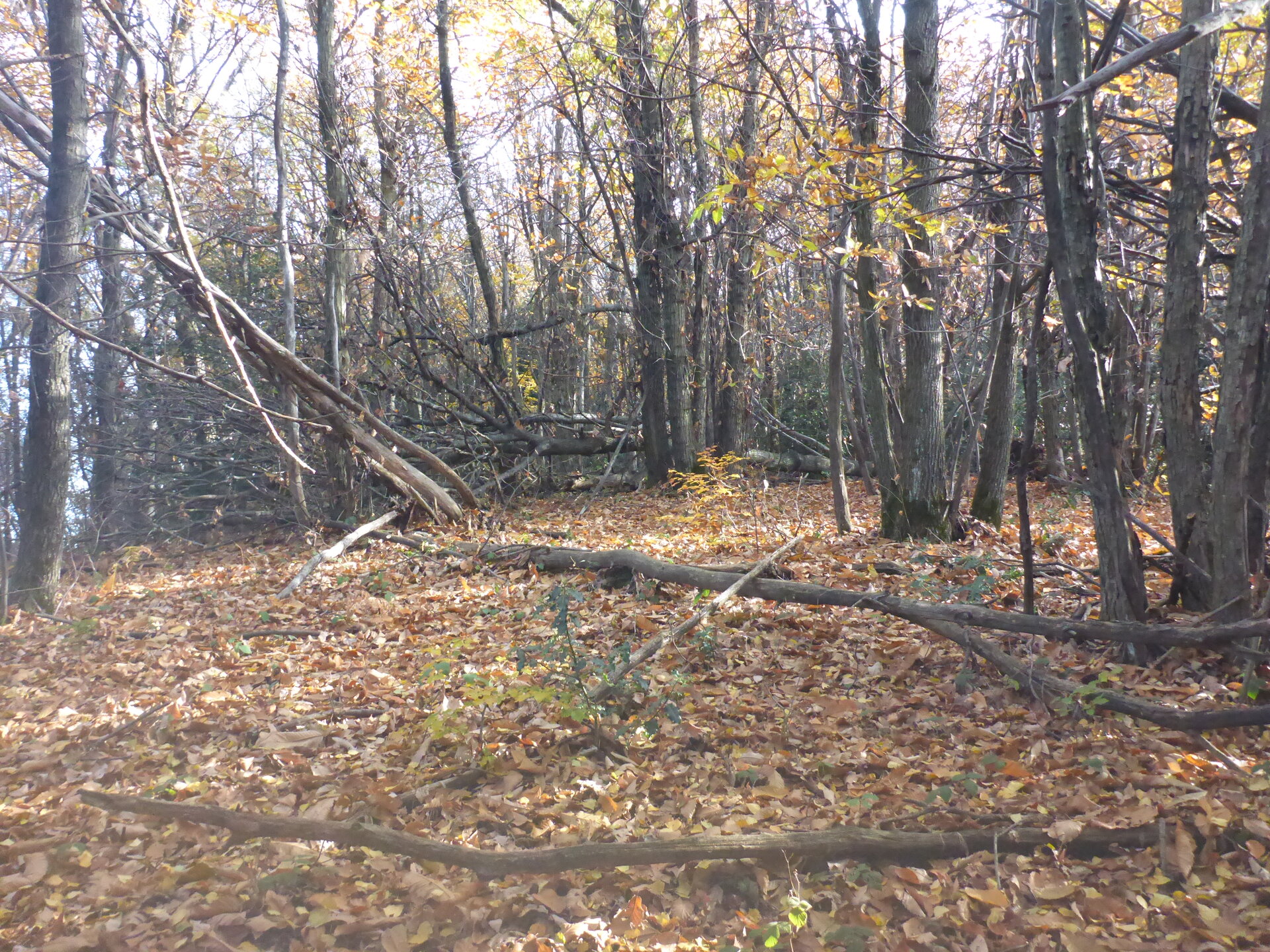
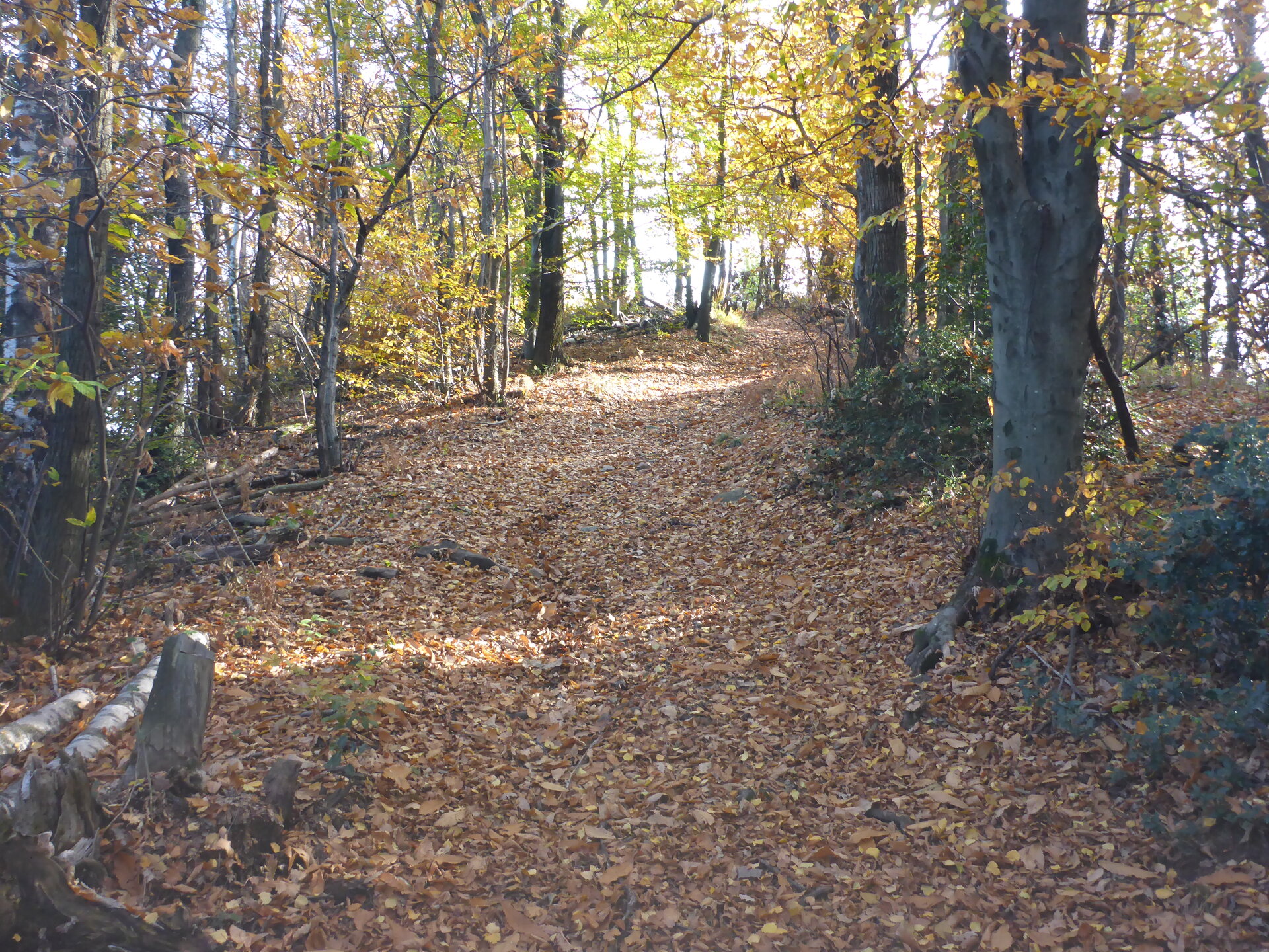
Route: Am Ende kein offizieller Bergwanderweg
Marschzeit: ~0:50 h
Distanz: 3.00 km
Positiver Höhenunterschied: 238 m
Koordinaten: 45.9457, 8.9237
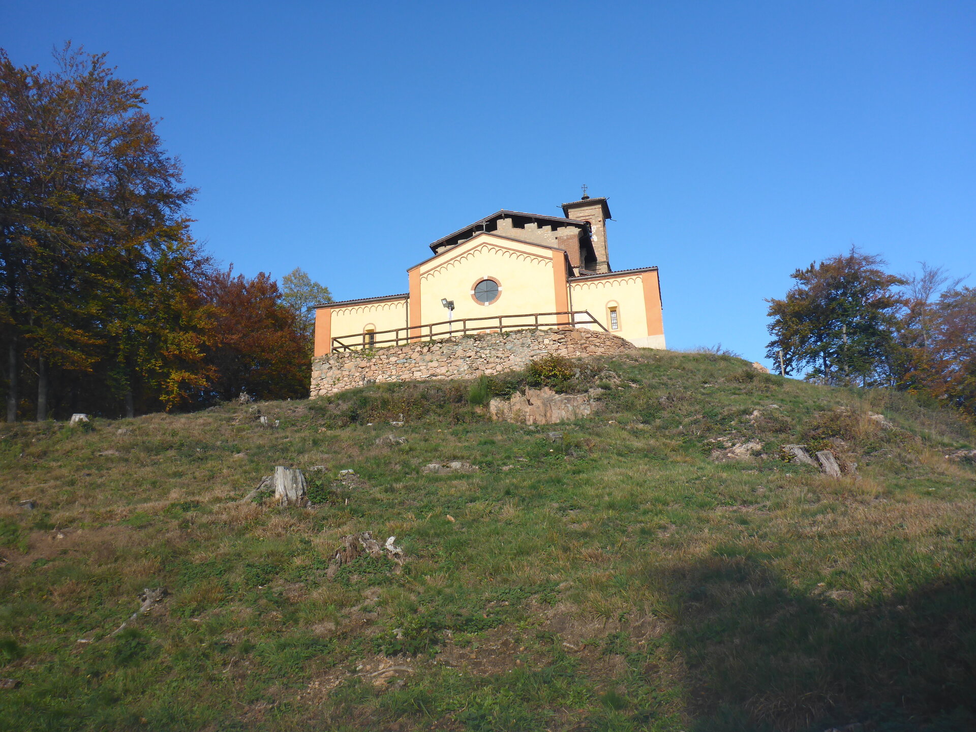
![]() Swiss Topo: Cima Pescia
Swiss Topo: Cima Pescia
![]() Google Maps: Cima Pescia
Google Maps: Cima Pescia
![]() SOTLAS: Cima Pescia
SOTLAS: Cima Pescia
 SOTA: Cima Pescia
![]() Webcam: In der Nähe
Webcam: In der Nähe
Wetterdaten für Melide
| 1:00 | 4:00 | 7:00 | 10:00 | 13:00 | 16:00 | 19:00 | 22:00 | |
| Donnerstag | ||||||||
| Freitag | ||||||||
| Samstag | ||||||||
| Sonntag | ||||||||
| Montag | ||||||||
| Dienstag |
![]() Anfahrt: SBB Fahrplan, bitte hier klicken
Anfahrt: SBB Fahrplan, bitte hier klicken
Strecke als GPX Datei Details zum GPX-File
GSM Empfang:
Mast aufstellen:
APRS Verbindung:
Aussicht:
Schwierigkeit:
T2