Locator: JN36va
Punkte: 10
Höhe: 3414 m.ü.M
Startpunkt: Luftseilbahn - Rothorn VS
Route: Offizieller Bergwanderweg
Marschzeit: ~1:15 h
Distanz: 2.64 km
Positiver Höhenunterschied: 407 m
Koordinaten: 46.0277, 7.8129
![]() Swiss Topo: Oberrothorn
Swiss Topo: Oberrothorn
![]() Google Maps: Oberrothorn
Google Maps: Oberrothorn
![]() SOTLAS: Oberrothorn
SOTLAS: Oberrothorn
 SOTA: Oberrothorn
![]() Webcam: In der Nähe
Webcam: In der Nähe
Wetterdaten für Täsch
| 2:00 | 5:00 | 8:00 | 11:00 | 14:00 | 17:00 | 20:00 | 23:00 | |
| Donnerstag | ||||||||
| Freitag | ||||||||
| Samstag | ||||||||
| Sonntag | ||||||||
| Montag | ||||||||
| Dienstag |
![]() Anfahrt: SBB Fahrplan, bitte hier klicken
Anfahrt: SBB Fahrplan, bitte hier klicken
Strecke als GPX Datei Details zum GPX-File
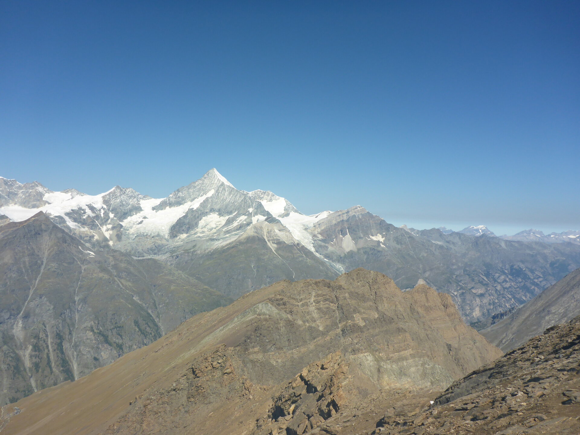
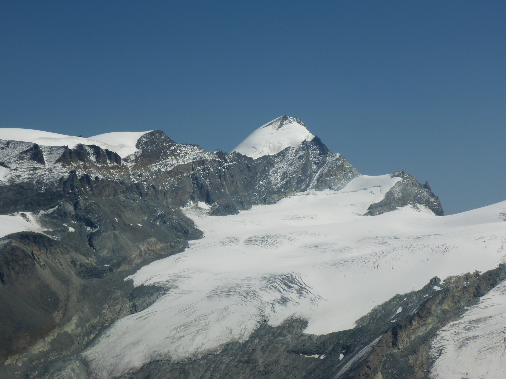
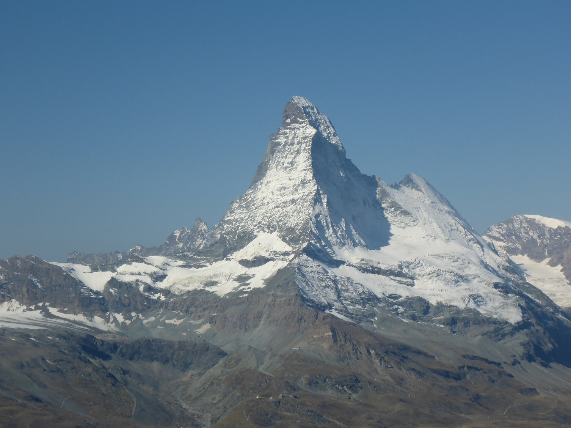 Matterhorn, HB/VS-006, vom Rothorn
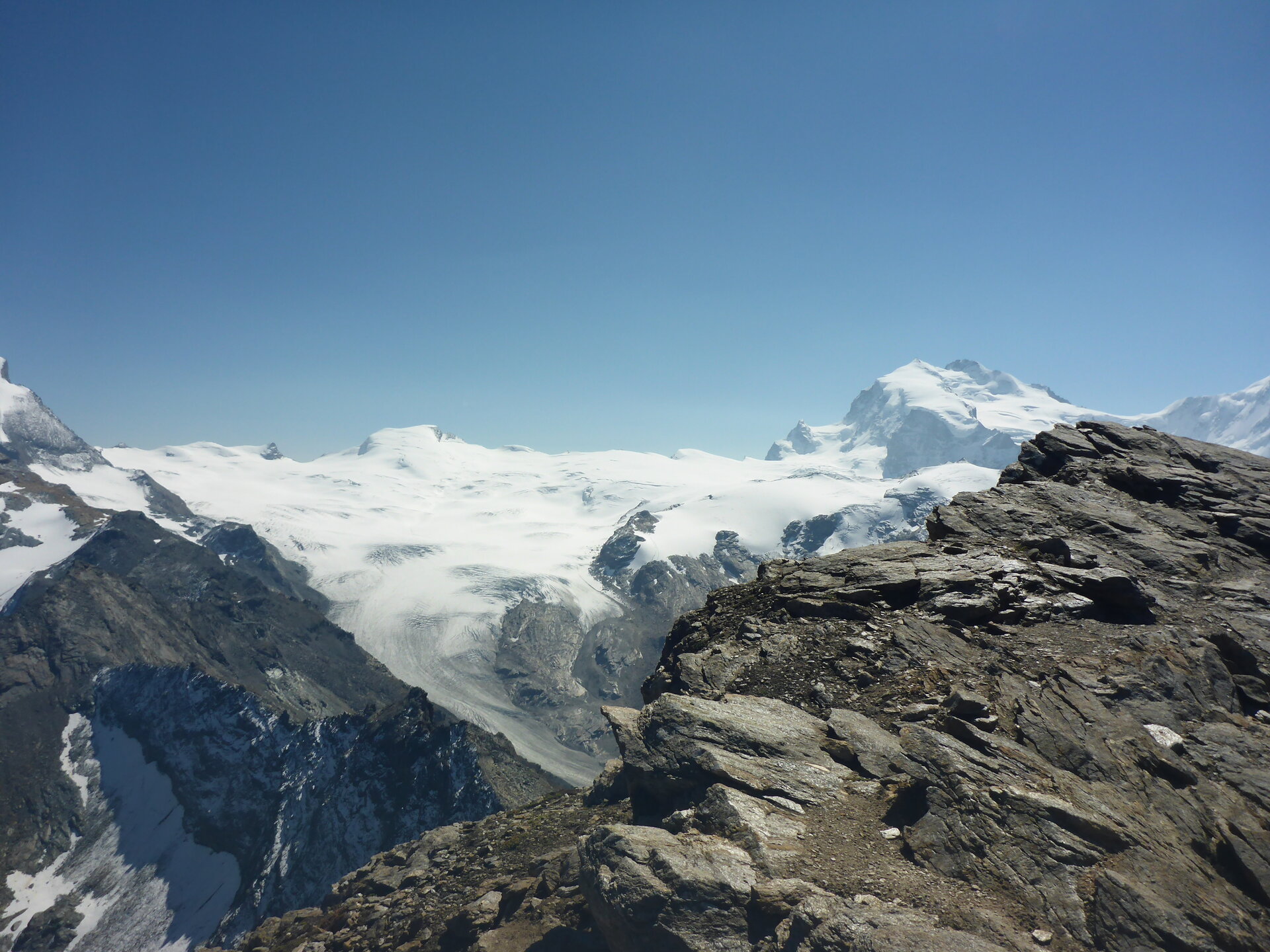
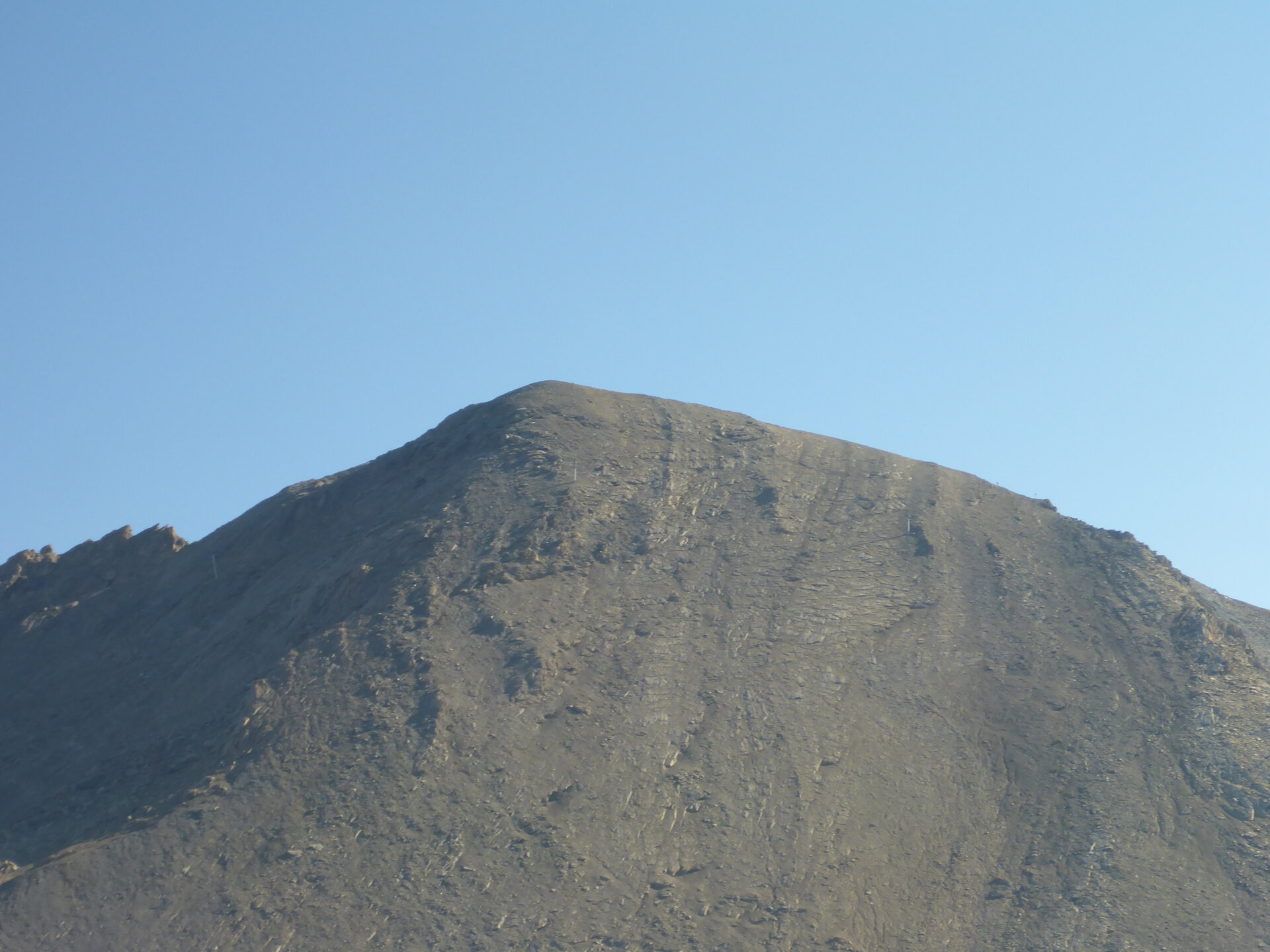 Das Ziel, Oberrothorn
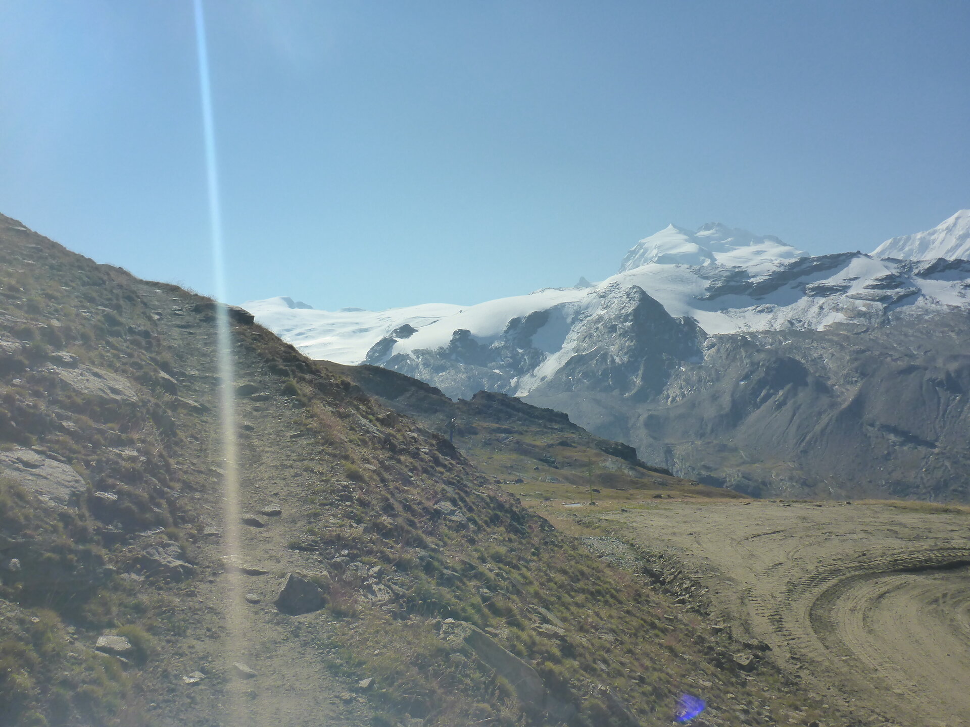

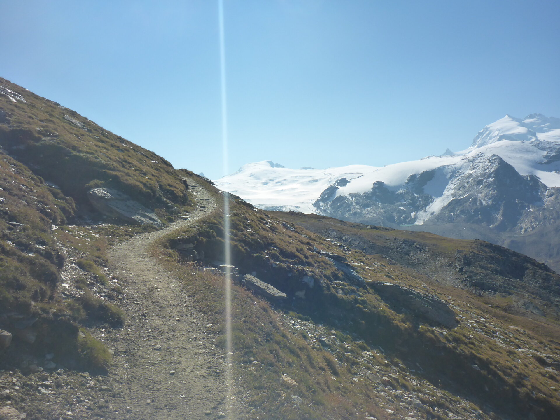 Der angenehme Weg zum Gipfel
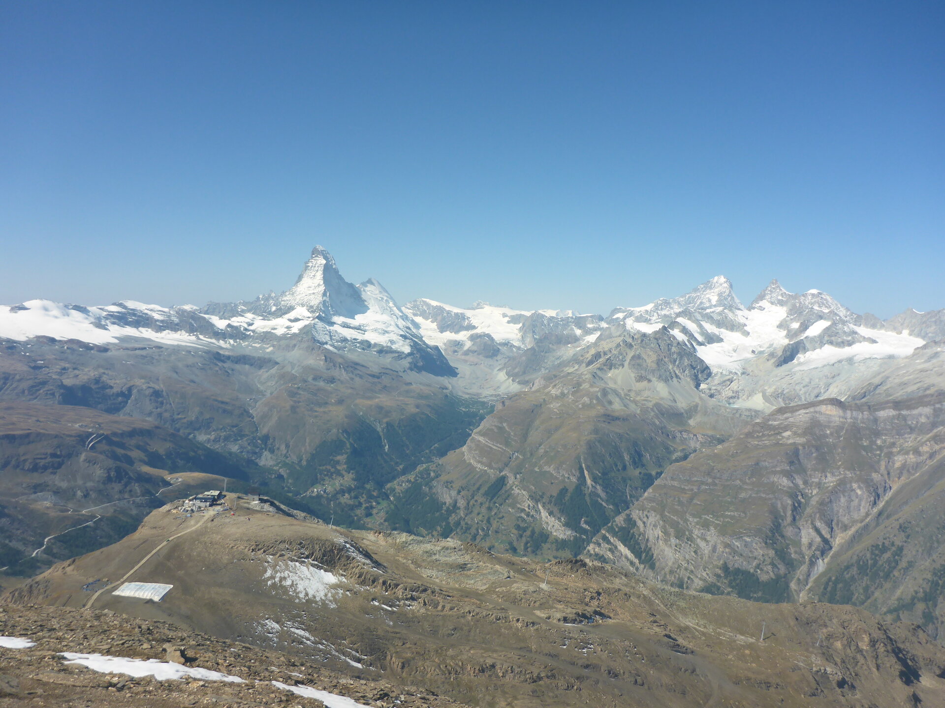
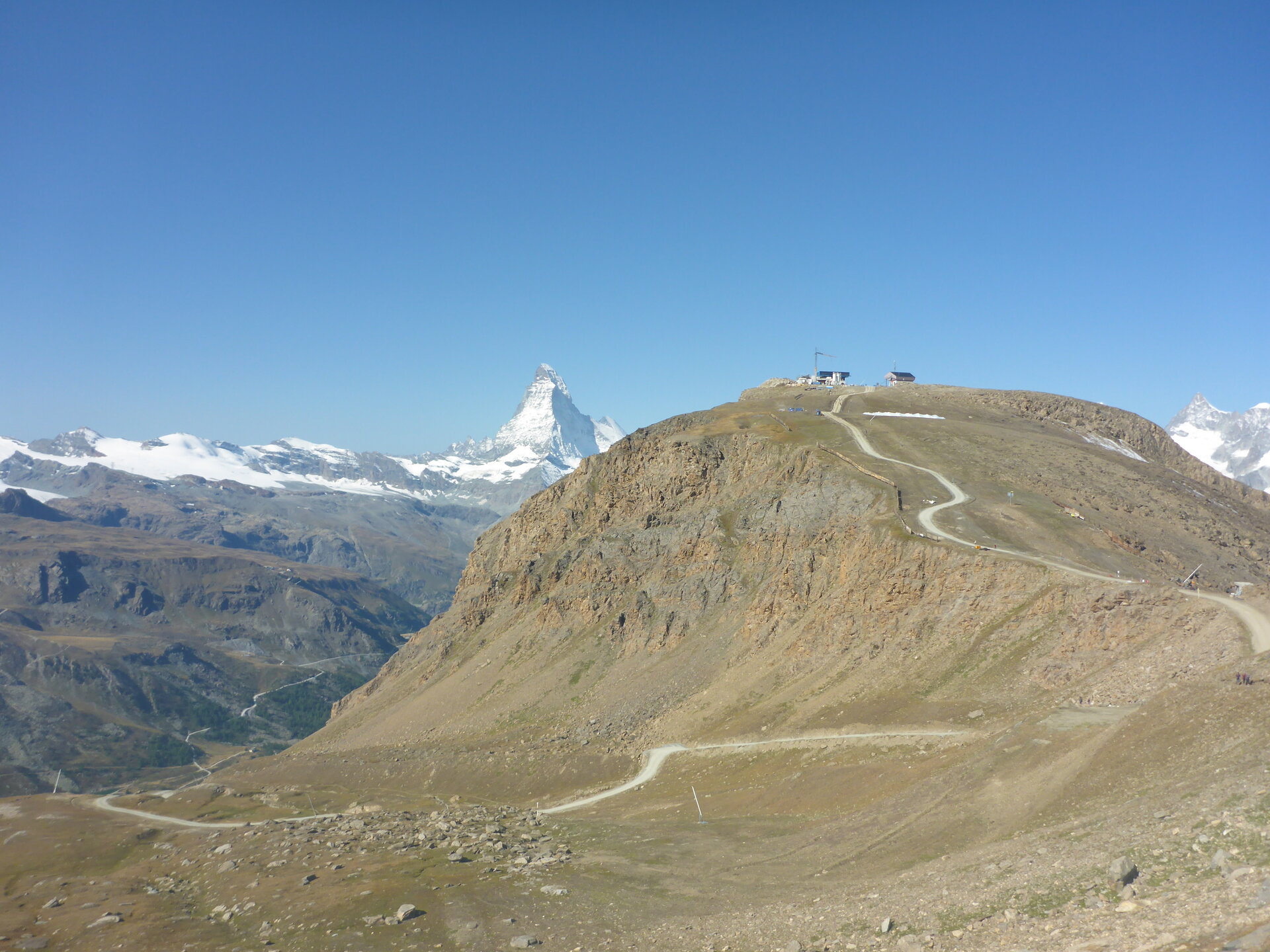 Bergstation Rothorn mit Matterhorn
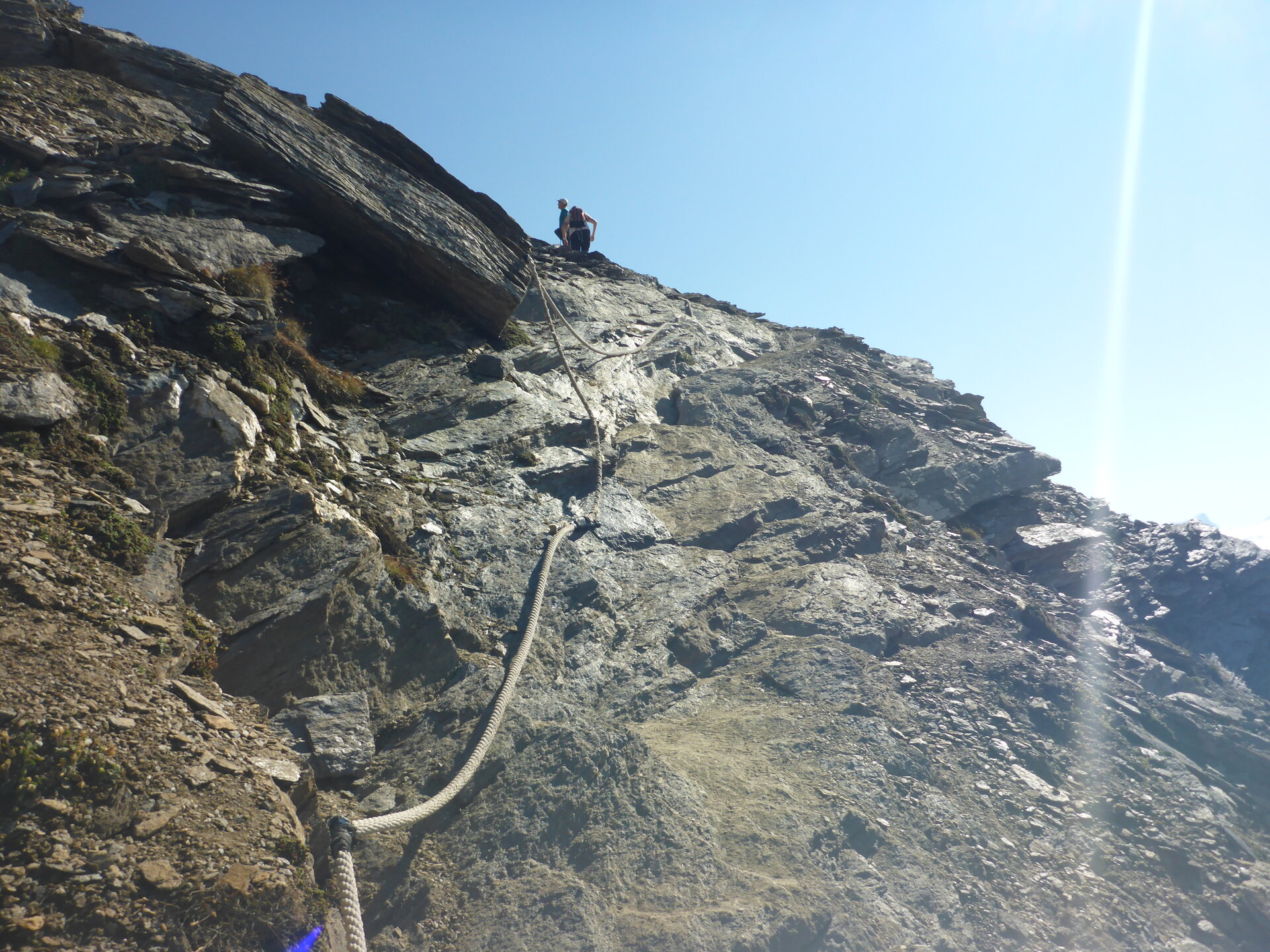 Die Passage mit dem Tau, aber ist nicht heikel
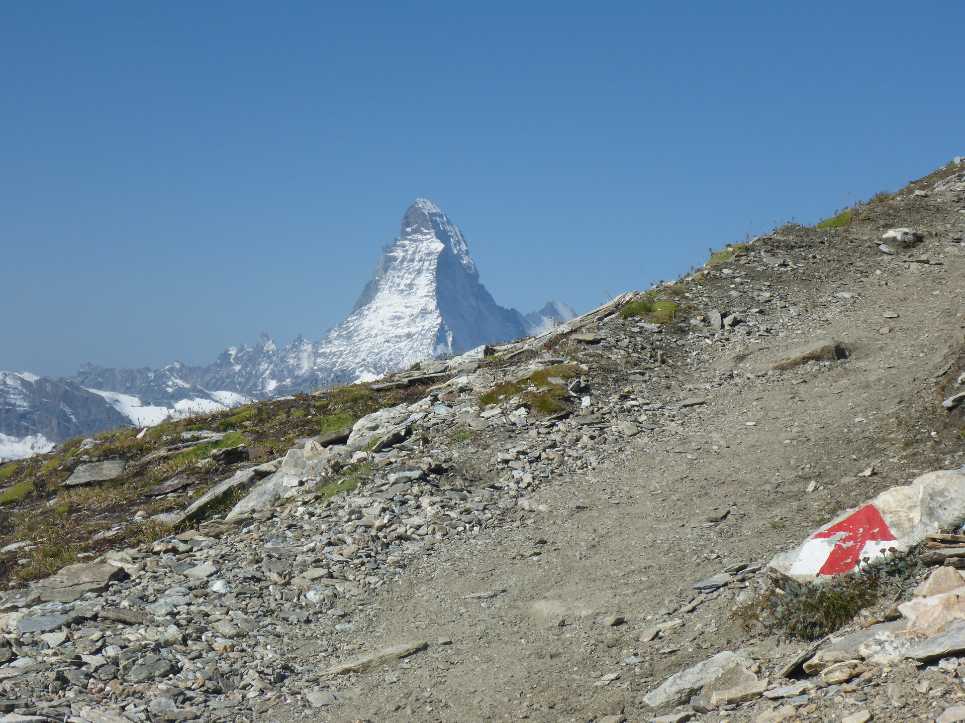
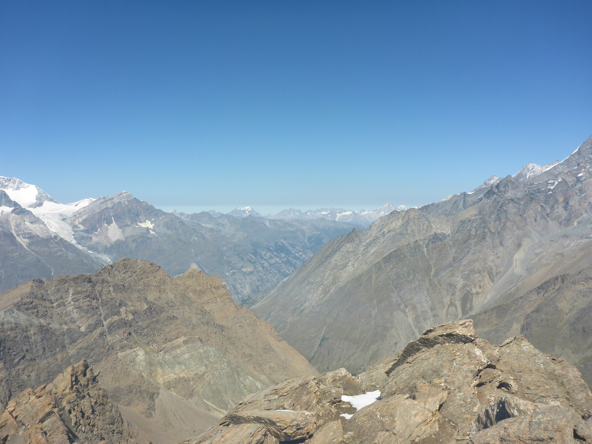
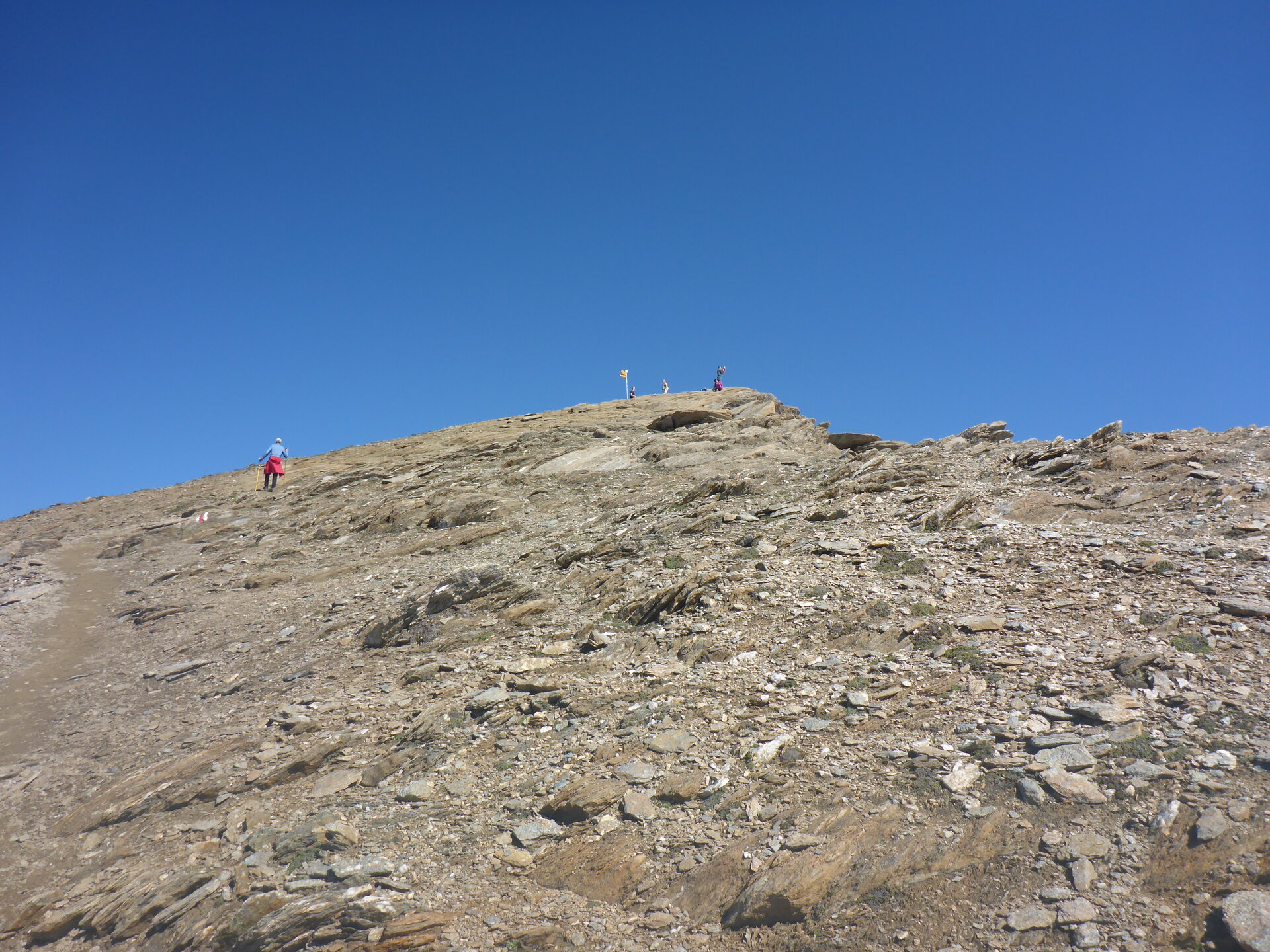 Endlich kommt der Gipfel wieder ins Blickfeld
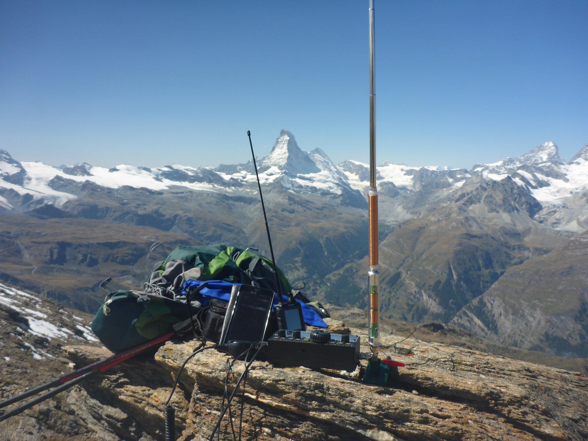

GSM Empfang:
Mast aufstellen:
APRS Verbindung:
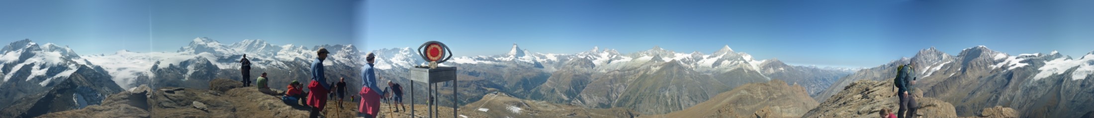
Aussicht:
Schwierigkeit:
T2